
Welcome to the essential guide on waterfront vacation rental management, focusing on a critical aspect of guest communication: water levels. Managing a property on the water brings unique responsibilities, particularly when setting expectations for guests unfamiliar with estuarine dynamics. A common misconception is that water levels always follow a strict schedule, which can lead to confusion. As a property manager, it is vital to establish a clear framework for discussing these variations.
To build a robust guest-facing process, managers must first understand the underlying science that dictates water movement. The most fundamental distinction to master is the difference between what the charts say will happen and what actually occurs on the ground. By incorporating this knowledge into your welcome materials, you enhance the guest experience and mitigate potential misunderstandings.
Understanding Waterfront Dynamics for Vacation Rentals
When operating a waterfront vacation rental, the surrounding environment is often the primary draw for guests. However, this dynamic environment requires careful management to ensure expectations align with reality. Guests from inland areas may not appreciate how quickly water levels can change, making proactive communication essential.
The foundation of this communication lies in understanding the complex interplay of forces governing water movement. Coastal environments are subject to a multitude of influences, from celestial bodies to local weather patterns. Acknowledging this complexity is the first step in creating a reliable guest information packet.
Property managers must bridge the gap between scientific data and practical advice. This involves translating complex oceanographic concepts into easily digestible information that guests can use to plan their day safely.
Astronomical Tides Explained
To effectively educate guests, you must define the baseline expectations known as astronomical tides, which form the foundation of most published schedules. These tides are driven by gravitational interactions between the Earth, the Moon, and the Sun, creating a predictable rhythm of rising and falling water levels.
According to the NOAA tide predictions, these calculations offer a theoretical model of what the water level should be at a specific time, assuming no external factors are at play. This predictability is useful for long-term planning.
However, it is crucial to emphasize that these predictions are a baseline, not a guaranteed outcome. The gravitational pull creates a consistent framework but does not account for the immediate, dynamic conditions characterizing coastal environments.
Weather Influences and Observed Water Levels
If astronomical tides provide the baseline, meteorological conditions cause the deviations. While the moon dictates the rhythm, the weather can amplify or disrupt it. This introduces observed water levels, representing the actual, real-time height of the water.
One of the most significant factors influencing observed water levels is wind. Strong, sustained winds can push water toward the shore, causing levels to rise significantly higher than predicted. Conversely, offshore winds can push water away, leading to lower levels.
Atmospheric pressure also plays a crucial role. High-pressure systems press down on the water, while low-pressure systems allow the water to expand and rise. The National Weather Service continuously monitors these conditions, providing essential data for real-time fluctuations.
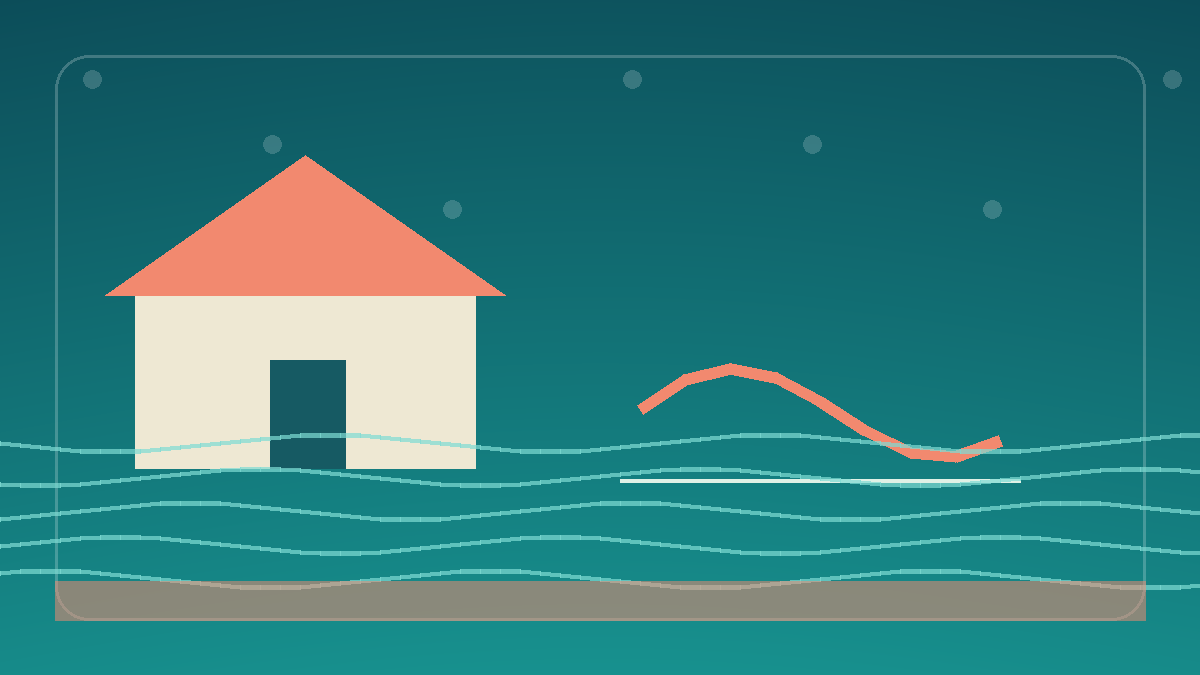
When building your guest process, you must explain the predicted tide versus observed water level dynamic. Guests must understand that the actual observed level determines the feasibility of their daily activities.
Key Differences Between Predictions and Reality
To solidify this concept, provide a clear comparison in your welcome packet. Predicted levels are theoretical forecasts based solely on gravitational forces. They are static and do not account for immediate environmental conditions. Observed levels are the physical reality, constantly changing based on real-time weather and oceanographic factors.
To illustrate these points effectively, consider including a simple comparison table in your guest materials. This visual aid quickly conveys the essential differences without overwhelming the reader.
| Feature | Predicted Tides | Observed Water Levels |
|---|---|---|
| Basis of Calculation | Gravitational forces (Moon and Sun) | Actual physical measurements |
| Influence of Weather | None (Theoretical baseline) | High (Wind, atmospheric pressure) |
| Reliability | Good for long-term planning | Essential for immediate actions |
| Changeability | Static once published | Dynamic and constantly shifting |
Creating a Guest-Facing Tide Communication Process
Creating a guest-facing tide communication process requires a strategic approach. The goal is to provide enough information to be helpful without causing unnecessary alarm. Start by including a dedicated section in your digital and physical welcome books, explaining the difference between provided charts and actual water levels. Use clear, jargon-free language that a layperson can easily understand, ensuring the message resonates with all guests regardless of their prior coastal experience.
Provide reliable resources for real-time information. Encourage guests to check local marine forecasts and active monitoring stations on a daily basis. Direct them to the NOAA water levels network, which provides accurate updates on observed conditions. Supplying these resources empowers guests to maintain their own situational awareness, allowing them to adjust their plans dynamically based on the most accurate data available to the public.
Finally, emphasize that this information is for educational purposes and activity planning, not a guarantee of safe access. The waterfront environment is unpredictable, and guests must exercise caution at all times. Consider implementing a visual signage system near the water access points that gently reminds guests to verify current conditions before proceeding. This reinforced communication strategy significantly reduces the risk of accidents and misunderstandings during their vacation stay.
Developing Your Rental Property Asset Strategy
Educating guests is just one aspect of comprehensive property management. The dynamic nature of the shoreline requires a proactive approach to property maintenance. This includes maintaining an accurate understanding of physical assets like docks and seawalls.
To manage these elements effectively, you might explore creating an asset inventory for boutique vacation rental property management. A robust inventory helps you track the condition of vital structures and plan for maintenance given the wear caused by fluctuating water levels.
Furthermore, local water dynamics are essential when assessing the business’s overall value. Prospective buyers will scrutinize how you manage waterfront risks. For insights on this process, review the factors involved in valuing turnkey operations when vacation rental managers prepare real property and equipment for sale. A well-documented communication strategy adds tangible value to your operation.
Essential Safety and Local Warning Protocols
No guest communication process is complete without addressing potential hazards. It is imperative that guests understand your provided information does not supersede official warnings or their own common sense. When navigating the waterfront, prioritizing safety must always be the first consideration for every activity.
Explicitly state in your welcome materials that you make no promises of safe access to the water, docks, or shoreline at any specific time. Conditions change rapidly, and what appears calm one moment can become dangerous the next. Guests must remain vigilant and adaptable during their stay, avoiding any assumptions that previous day’s conditions will hold true for the current day.
Most importantly, direct guests to rely on local official warnings from the National Weather Service, local coast guard stations, and emergency management agencies. Instruct them on how to receive these alerts on their mobile devices. Emphasize that in any situation where predicted levels and local safety warnings conflict, the official safety warnings must always take precedence. By establishing these protocols, you promote a safe environment for everyone and clearly delineate your responsibilities as a property manager.
Frequently Asked Questions About Waterfront Levels
To further assist guests, consider including a frequently asked questions section.
What is the difference between a predicted tide and an observed water level?
A predicted tide is a forecast based on gravitational pull, assuming normal weather. An observed water level is the real-time height of the water, including immediate effects of wind and storms.
Why is the water higher than the tide chart says?
Local weather conditions, particularly strong winds blowing toward the shore or low atmospheric pressure, can push extra water into the area, raising the observed level above the astronomical prediction.
Can we rely on the tide chart to know when the dock is accessible?
While the tide chart is a helpful guide for general planning, you should not rely on it exclusively. Always check actual observed water levels and local weather conditions before attempting to access the dock.
Where can we find real-time information about current water levels?
You can find real-time data through official government resources such as the NOAA website, which provides live updates from monitoring stations, as well as local marine weather forecasts from the National Weather Service.
Are we guaranteed safe access to the water during our stay?
No, we cannot guarantee safe access to the water at any specific time. Waterfront conditions are inherently unpredictable. Always prioritize your safety and follow all local emergency warnings and advisories.